

Applications of Earth Observations and Machine Learning in Greenhouse Gas Stocktaking for Climate Change Mitigation – from City to Country Scales
With bottom-up emission estimates of methane being highly uncertain, would the use of a machine learning model constrained with knowledge from atmospheric chemistry and Earth observations principles, better characterise methane emissions on the Earth’s surface?
With bottom-up emission estimates of methane being highly uncertain, would the use of a machine learning model constrained with knowledge from atmospheric chemistry and Earth observations principles, better characterise methane emissions on the Earth’s surface?
This is the main question the research addresses. The aim is to produce a novel multidisciplinary processing strategy combining Earth observations techniques, and chemical transport modelling outputs with AI-driven modelling for monitoring methane emissions for climate change mitigation. It takes the view that the use of satellite imagery and machine learning are fundamental to climate policy and can help provide near-real-time information on emissions, making them unique resources in documenting rapid changes in emissions, in contrast to bottom-up inventories that have latencies of several years.
The project overall uses mixed methods for collecting and analysing both qualitative and quantitative data for multidisciplinary processing strategies for monitoring methane emissions locally and regionally.
A combination of atmospheric chemistry techniques and space-based observations of methane with AI driven modelling are utilised to explore whether a machine learning model that represents lagged responses and considers underlying causal relationships can improve the process understanding of methane and predicting methane fluxes.
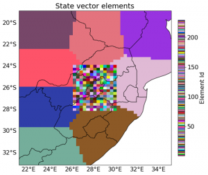
The study area is within the latitude and longitude bounds of 24° – 28° S and 26° – 31° E which is the Gauteng province and surrounding areas, in South Africa. So far we have developed a pipeline for creating a feature set comprising of inverted emission fluxes as the dependent variable, and 21 independent variables (co-occurring trace gases, meteorological fields, land use, land cover, and neo-demographic data) with near-real-time Earth observation data, to aid the development of a causality-constrained machine learning model for the prediction of fluxes within the emission field.
On completion of the modelling, testing and evaluation, the model will be deployed regionally with the development of a countrywide emissions inventory for South Africa.
The project is ongoing and no results have been published yet.

